2026 Slowdown: Why You’ll Need a Property Survey First
Builders, homeowners, and developers are preparing for a different kind of year. Recent reports from the Associated General Contractors of Minnesota show that confidence for 2026 is dipping. Contractors feel pressure from rising wages, higher material prices, and a growing worker shortage. Because of these changes, many people planning new projects may feel unsure about […]
Why Your Topographic Survey Is Facing Major Delays

A topographic survey usually feels simple. You call a surveyor, they map the land, and you move ahead with your plans. But across Minnesota, this step now takes longer than expected. The reason may surprise you. The state is trying to fix old gaps in its original survey monuments, and this is slowing down many […]
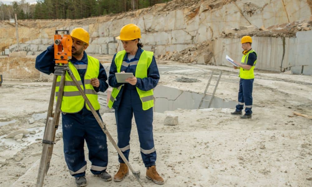
Construction Surveys Safety: What Developers Must Know
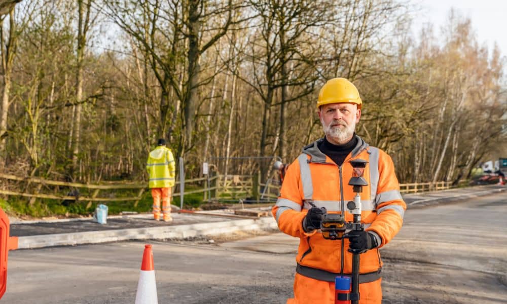
Construction surveys are a normal part of any building project. Crews mark corners, set control points, and guide builders so everything sits exactly where it should. But after a recent roadside fatality involving a surveyor, people across the construction industry are taking a hard look at how these surveys are done—and what needs to change […]