What a Wildlife Aerial Survey Reveals About Survey Accuracy

Minnesota recently launched a new wildlife monitoring effort that uses aerial survey technology to track animal movement and habitat conditions across large areas of land. At first glance, this may sound like a project meant only for biologists. However, the tools and methods behind this work say a lot about how land measurement has changed—and […]
Why an ALTA Survey Is a Risk Tool in Urban Property Deals

Urban real estate deals move fast. Prices are high, competition is tight, and pressure builds quickly once a property goes under contract. Because of that speed, buyers often rely on assumptions. They trust what they see in marketing materials, seller statements, and title documents. However, in dense urban areas, those assumptions can break down fast. […]
When a FEMA Elevation Certificate Removes Flood Insurance
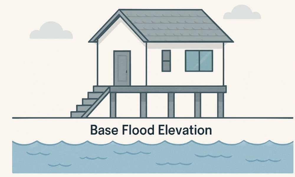
If you own a home and your lender says flood insurance is required, you may feel stuck. The good news is that a fema elevation certificate can sometimes change that outcome. In the right situation, this document can show that your home sits higher than the risk level shown on flood maps. As a result, […]