Smart Developers Start With a Boundary Line Survey
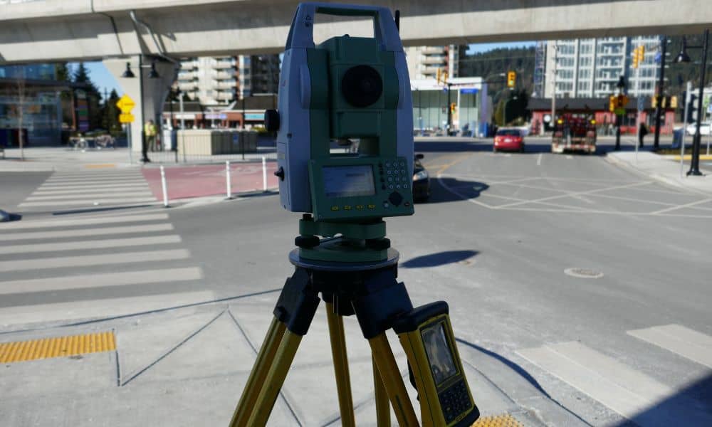
If you’re converting a property, you should start with a boundary line survey. That’s true whether you’re working on a new build, a temporary site, or a redevelopment project. Recently, a business owner on Lake Street transformed a cleared lot into a hygiene and outreach hub. The idea sparked conversations about community use, quick development, […]
How Drone Surveying Ends Homebuyer Boundary Panic

If you’re buying a house, you might never expect a neighbor’s fence or deck to cross your lot line. But lately, social media is full of stories showing this exact nightmare. Homebuyers are discovering, right before closing, that they don’t “own” quite what they thought. That’s where drone surveying comes in—offering sharp visuals that prevent […]
Beat the Frost: Get Your Construction Staking Survey Now
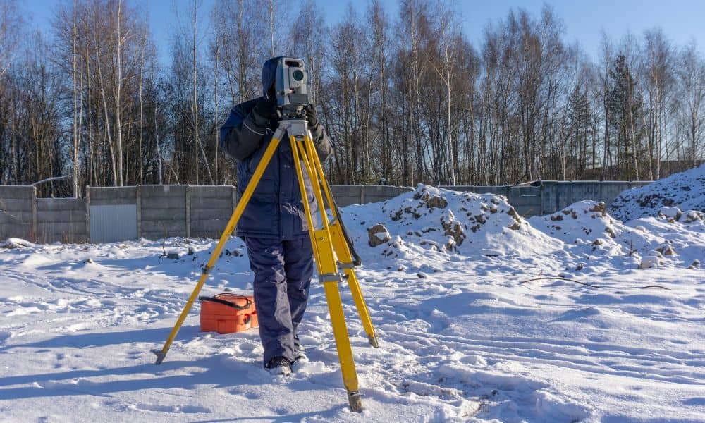
The Twin Cities just felt their first real chill of the season, and it’s a clear warning for anyone planning to build this fall. A construction staking survey done before the soil freezes can save you from major headaches once winter takes over. Last week, on October 7, 2025, the National Weather Service – Twin […]