Why Viral Storm Maps Are Changing Survey Mapping
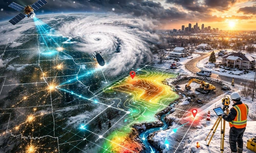
Last week, satellite storm maps went viral. Millions of people shared dramatic images of swirling snow bands, heavy cloud cover, and lightning flashing inside winter storms. News outlets showed real-time views from space as blizzards rolled across the country. For most people, those maps felt exciting and dramatic. However, for professionals in survey mapping, those […]