Why LiDAR Mapping Is Becoming Essential for Flood Planning
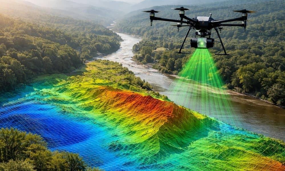
Flooding is becoming a bigger problem in many places. Cities face stronger storms, rising water levels, and aging drainage systems. Many systems struggle during heavy rain. Because of this, governments need better ways to understand land and predict how water moves across it. One technology helping with this is lidar mapping. Across many regions, public […]