Heavy rains in the Twin Cities are no longer rare. Just in the past week, another round of severe storms drenched Minneapolis and St. Paul, leaving behind soggy yards, leaning fences, and anxious homeowners. Every headline seems to echo the same warning: storm damage costs are climbing. In this new reality, a flood elevation survey is not just about insurance. It has become a vital step before applying for building permits, especially if you plan to repair, remodel, or start new construction in flood-prone areas.
Why Flood Risks Are Rising In Minneapolis
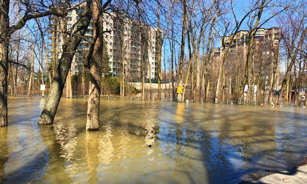
The Twin Cities are built on water. Lakes, creeks, wetlands, and the Mississippi River make the area beautiful, yet they also create real flood concerns. When severe storms hit, water has fewer places to go. Aging stormwater systems struggle, and even properties that never saw pooling water before can suddenly find themselves at risk.
Local reports this season have shown damage climbing higher than in recent years. Retaining walls shifted, driveways settled, and basements took on unexpected water. What used to be a “once in a while” event now feels like an annual worry. Because of this, city officials are watching elevations more closely when reviewing permits.
What A Flood Elevation Survey Really Means For Permits
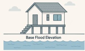
Many people think of surveys only in terms of boundaries or insurance, but a flood elevation survey serves a different purpose. It measures how high your structure sits compared to the base flood elevation, the level water is expected to reach during a major storm.
When you apply for a building or remodeling permit, the city wants to know if your project will be safe. If your addition, garage, or new basement is set below that base level, the risk is high. Submitting a recent elevation survey shows reviewers that you’ve planned responsibly. It also speeds up approval because it removes guesswork.
Storm Damage That Can Change Your Site
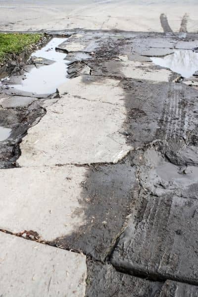
After heavy rain, the ground shifts in ways that are easy to miss at first glance. Corner pins marking property lines may move. Fences start to lean. Small cracks appear in retaining walls. Driveways sink just enough to create a trip hazard. Even worse, water may begin flowing toward the foundation rather than away from it.
These changes matter for permits. A grade that no longer slopes correctly can force you to adjust drainage plans. A foundation that sits lower than expected can trigger new requirements for flood protection. The safest way to catch these issues early is by getting an updated flood elevation survey.
A Real-World Scenario: Catching Slope Before It Caused Damage
Take the case of a homeowner in South Minneapolis. After a June storm, they noticed water pooling near the basement window wells. At first, it looked like nothing more than clogged gutters. When a surveyor came out, the spot elevations told a different story. The yard had settled just enough to create a negative slope toward the home. By updating the survey and sharing it with the engineer, the grading plan was corrected before the city reviewed the permit.
That small adjustment saved thousands of dollars in potential water damage and kept the project moving on schedule.
How Homeowners Can Prepare After Major Storms
While only a licensed surveyor can produce an official elevation survey, there are practical steps residents can take right after a storm. Start by taking photos of any standing water around your home. Walk the lot to see if fences, driveways, or retaining walls shifted. Free tools like MnTOPO can show elevation contours and hillshades for your block. They’re not a replacement for a survey, but they help you spot patterns that may require professional confirmation.
Most importantly, act quickly. Storm damage does not wait, and the longer water sits against a structure, the more expensive the repair. Ordering a flood elevation survey soon after a major event gives you current data, which you can then include in your permit package.
The Role Of Surveys In The Permit Timeline
Think of permits as a chain. It starts with a survey, then moves to design drawings, grading plans, and finally to city review. If the survey piece is missing or outdated, the whole chain breaks. You may face delays, redesigns, or even a rejected application.
Coordinating early with your surveyor also helps other professionals. Engineers rely on survey data to plan drainage. Contractors need the elevations to set foundations at the right height. Even insurance adjusters look to these numbers when assessing storm claims. When everyone works from the same data, projects move faster and with fewer surprises.
Local Resources Worth Knowing
Minneapolis residents are not left on their own. The Minnesota DNR offers MnTOPO for free elevation viewing. The city’s zoning and permit portals explain setbacks and built-form overlays that affect where structures can go. Hennepin County’s property info system provides parcel details and legal descriptions, which help surveyors prepare. And for any digging, Gopher State One Call is the go-to resource before breaking ground.
These tools prepare you for the survey, but they don’t replace it. Only a licensed surveyor can provide the official measurements and certificates required for permits.
Why Waiting Costs More
Some homeowners delay ordering a survey, hoping to save money upfront. The problem is that delay often leads to extra costs later. Imagine submitting plans without an updated flood elevation survey. The city reviews them, flags the missing information, and sends them back. You’ve lost weeks and paid for redesign work. Meanwhile, storm season rolls on, increasing the chance of new damage.
By investing in the survey early, you set yourself up for smoother approvals, safer construction, and long-term protection.
Final Thoughts
The recent storms in the Twin Cities are a clear reminder: water shapes the land faster than we realize. For homeowners and builders, ignoring that reality can lead to costly mistakes. A flood elevation survey is no longer optional paperwork. It is the foundation for safe permits, smart construction, and resilient neighborhoods.
If you plan to repair, remodel, or build, the best move is to get expert guidance early. Local land surveying services can help you understand your property’s true elevation, identify risks, and provide the documentation the city needs. By taking that step now, you’re not just meeting permit requirements—you’re protecting your home, your budget, and your future.
