How to Find an Old Lot Survey Before Ordering a New One

You’re thinking about building, selling, or just getting a better sense of your property. Then someone mentions you need a lot survey, and you immediately worry about the cost. The thing is, many homeowners don’t realize there might already be a lot survey on record for your property. Before ordering a lot survey, it makes […]
Build a Garage? Get a Property Line Survey First
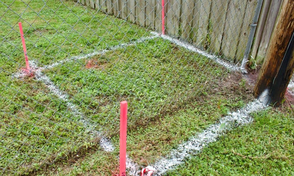
You’re ready to build a garage. Maybe you want more space, or maybe your old one needs an upgrade. You look at your yard and think, “There’s enough room right by the lot line.” It seems simple. However, this is where many homeowners run into trouble. In Minneapolis, lots can be tight. Many homes have […]
Land Survey Cost: What to Expect Before You Build

If you’re planning to build a fence, garage, or home addition, you’re probably wondering what a survey typically costs—and whether you even need one in the first place. At first, it might seem like something you can skip. After all, most homeowners look at online maps and assume they already know where their property lines […]