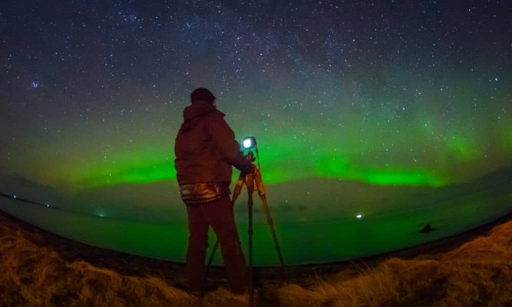
If you’ve stepped outside in Minneapolis this week, chances are you’ve seen social media flooded with photos of the glowing aurora borealis. The Northern Lights are rare and breathtaking in the city. But while everyone else is staring at the sky, surveyors are staring at their instruments—and not always in awe. For anyone needing a boundary line survey right now, this solar storm could make things tricky.
Why? Because the same space weather that lights up the night sky can scramble the accuracy of GPS signals. And when surveys depend on centimeter precision, even a small disruption can create big headaches.
When Beauty Meets Bad Data
Solar storms happen when bursts of energy from the sun hit Earth’s atmosphere. That’s what creates the beautiful Northern Lights we’ve been seeing across Minnesota. At the same time, those bursts of energy disturb the satellites we rely on for GPS.
Surveying equipment depends on those satellites for exact measurements. Normally, a high-grade GPS receiver can tell a surveyor where they are within an inch. But during a geomagnetic storm, accuracy can drift by several inches—or sometimes even feet.
That may not sound like a lot. Yet, when you’re marking a property line in a neighborhood where houses are just a few feet apart, the difference between accurate and off-by-a-foot could lead to serious disputes.
How a Solar Storm Affects a Boundary Line Survey
Here’s what happens in practice. Surveyors set up their equipment expecting a clean fix. Instead, signals drop out. Heights jump. Points they recorded a minute ago no longer match. This isn’t because the equipment is faulty. It’s because solar particles are bending and scattering the satellite signals before they reach Earth.
For a homeowner, that means a survey performed at the wrong time might show your fence line, garage, or shed in the wrong spot. Imagine paying thousands for a new fence only to discover it crossed onto your neighbor’s land because a solar storm knocked the data off course. In situations like this, precise property boundary mapping isn’t just a technical detail—it’s the safeguard that keeps small errors from turning into costly disputes.
Lenders, attorneys, and city officials also rely on surveys. If the data looks unreliable, it can delay a home closing or stop a construction permit.
Why Minneapolis Is Especially Sensitive
Minnesota sits at a latitude where aurora activity is more visible. The closer you are to the poles, the more likely you’ll feel the storm’s effects. That’s why surveyors are paying close attention this week while crews in states further south might not even notice a problem.
It doesn’t help that Minneapolis has many dense neighborhoods with narrow lots. When boundaries are already tight, an extra six inches of error matters much more than in rural areas with wide open fields.
What Surveyors Do to Adapt
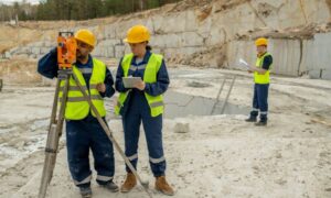
The good news is that licensed land surveyors know how to work around these challenges. A storm doesn’t mean they throw up their hands and stop working. Instead, they use backup methods and smarter timing.
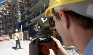
They may extend their observation times, letting instruments average out more data to improve reliability. They can also switch to total stations, which measure angles and distances directly instead of relying on satellites. In some cases, surveyors log static data and return later to process it, ensuring no corner point is left to guesswork.
In short, while a solar storm makes life harder, it doesn’t mean your boundary line survey is doomed. It means the surveyor has to be cautious and sometimes slow down to guarantee accuracy.
What Property Owners Should Expect
If you’ve ordered a survey this week, don’t be surprised if your surveyor talks about rescheduling or taking more time in the field. That’s not a delay for the sake of delay. It’s protection for your investment.
Think of it like flying a plane through bad weather. You wouldn’t want the pilot to ignore turbulence just to land on time. The same goes for surveying. It’s better to wait a few extra hours or days than to end up with inaccurate results that could spark legal disputes later.
If you’re under pressure because of a mortgage closing or construction deadline, ask your surveyor to explain what’s happening. A short written note about space weather interference can often help with lenders, attorneys, or city officials who need reassurance that the data will be accurate once conditions improve.
Real-World Scenarios in Minneapolis
Let’s make this real. Imagine you’re buying a house in South Minneapolis. You plan to close on Friday, and the bank needs a survey before signing off. If the storm throws off the data, the surveyor might refuse to certify the results until they recheck them. That means closing could move to next week. Annoying, yes, but far better than finding out later that the garage sits six inches over the property line.
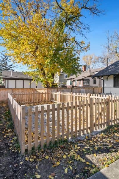
Or picture a homeowner in Northeast Minneapolis adding a new fence. Without a storm-adjusted survey, the fence might get built two feet too far onto city property. Instead of enjoying your new yard, you’d be tearing it down and paying fines.
These scenarios show why solar activity isn’t just a space geek’s problem. It’s a homeowner’s problem too.
Safety Matters Too
There’s another layer here: safety. Survey crews often work along roads, sidewalks, or construction sites. If a storm slows down the data collection process, crews may spend more time in potentially hazardous locations. That’s why timing matters not just for accuracy but also for safety.
Recently, MnDOT reminded workers across the Twin Cities to take extra precautions in road work zones after several serious incidents. For surveyors, any slowdown caused by space weather means extending time in these environments. That’s another reason why careful scheduling during storm events is essential.
Storm or Shine, Accuracy Comes First
So where does that leave homeowners and property buyers? The takeaway is simple: Northern Lights are amazing to watch, but they can cause bad data for surveys. A boundary line survey done during a geomagnetic storm isn’t useless—but it requires professional judgment, patience, and sometimes a bit more time.
When you hire a licensed surveyor, you’re not just paying for tools. You’re paying for expertise—the kind that knows how to adapt when space weather messes with GPS. And in a city where property lines are tight, that expertise is what keeps you out of costly disputes.
Conclusion
This week’s solar storm is a reminder that surveying is more than drawing lines on a map. It’s a science influenced by forces far beyond our control. For property owners, the best move is to trust licensed professionals who won’t cut corners, even when the sky is glowing overhead.
If you’re planning a project, a sale, or simply want clarity about your land, don’t let a solar storm stop you. Instead, partner with a surveyor who knows how to deliver accuracy—storm or shine.
