You own two lots side by side. On the ground they look like one big yard. So it feels like they should count as one property. They usually do not, at least not yet.
Owning both lots does not merge them. Each lot can still be its own legal parcel with its own history in the public records. Before you treat them as one, a licensed land surveyor looks at how the two lots actually relate to each other on paper.
This matters more in Minneapolis right now. The city has spent years reworking its housing and zoning rules. That leaves a lot of owners curious about what their land could become. How your parcels are set up is part of that answer, and it is worth checking early.
Whether the Two Parcels Can Function as One Legal Lot
Two lots that touch are not the same as one lot. Sitting next to each other is a physical fact. Being one legal lot is a records fact. The two do not always match.
Some earlier documents created each parcel. Maybe an old subdivision plat. Maybe a deed with a written description of the boundary. That record gave each lot its own legal identity. A fence or a shared driveway does not change that identity.
So a surveyor starts with the basics of eligibility. That means checking if the parcels can combine under the city’s rules and what that would take. The surveyor compares the two legal descriptions. Do they meet cleanly along the shared line? Do they overlap or leave a gap? In older parts of Minneapolis, lot lines drawn a century ago do not always agree. A surveyor sorts out those small conflicts before two lots can become one clean parcel.
In Minnesota, this boundary work is not a do-it-yourself job. State law reserves it for a licensed land surveyor.
The Interior Line That May Disappear on Paper but Still Matters in Records
When you combine two lots, the line between them seems to go away. On a new drawing it can. In the records, it can stick around longer than you expect.
That shared line still lives in several places. Each old deed still names it. It shows up on the recorded plat. It may appear in easements, mortgages or prior descriptions that point to something like “the east line of Lot 5.” Combining the land on the surface does not rewrite all of those older records on its own.
One distinction trips people up. Combining tax parcels is not the same as combining legal lots.
- Combining tax parcels usually happens at the county level. Hennepin County may group two property ID numbers so you get one tax bill. That is a billing and assessment step.
- Combining legal lots changes the legal description of the land itself. It often goes through the city’s land use or subdivision process and lands in the public records.
One tax bill can make it feel like the work is done. It may not be. The legal lots underneath can still be two separate lots in the records. A surveyor helps line up what the assessor shows, what the deeds say and what a truly combined lot would need.
Access, Frontage, and Other Site Conditions Hidden by a Simple Parcel Map
The parcel map looks clean. Straight lines, neat numbers. It hides a lot about how the land is actually reached and used.
Frontage is a big one. Each lot may have its own stretch of street frontage today. Combine them, and that frontage pools into one longer edge. That can help some plans and complicate others, based on what the resulting lot needs to qualify for.
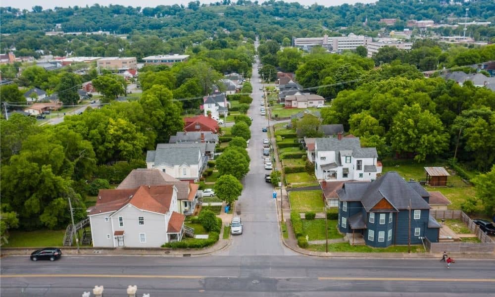
Access is the next question. One lot might reach the street through a shared driveway. There may be an alley behind both, which is common in Minneapolis. An old access easement might cross one lot to serve the other. Once two lots become one, an easement that lets one lot cross the other may no longer fit, or it may still bind the property. A surveyor maps these access rights so they do not surprise you later.
The goal is to see how the combined shape behaves, not just how it looks on a map.
Existing Improvements That Can Complicate a Combined Lot
Look at what is already built on and around that shared line. This is where combining lots gets interesting.
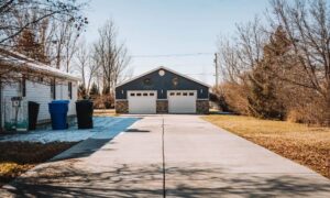
Say a garage sits right on the line between the two lots. As two separate lots, that garage may have needed to keep a side setback from that interior line. As one combined lot, the interior line is gone, so that setback question can change. A driveway, a fence or a shed that straddled the line is in the same spot. What was a matter between two lots becomes an internal detail of one property.
It can also cut the other way. Combining removes the interior line, but it does not remove the outer edges. Front, side and rear setback rules still apply to the new perimeter. A structure that sat fine before may relate to those outer lines differently once the lots are one.
Utilities are worth a look too. Two lots often had separate service lines, meters or connections. A combined lot may still carry all of that, plus any utility easements that ran along the old shared line. A surveyor locates these features so the combined picture is accurate.
Why Housing Conversations Make Parcel Configuration Worth Reviewing Early
Minneapolis has been at the center of housing and zoning changes for years. In 2020 it became the first major U.S. city to end single-family-only zoning. Its rules now allow up to three homes on many residential lots, as long as a project meets the zoning standards.
That has owners looking at their land in a new way. If you hold two lots next to each other, it is fair to wonder what a combined property could support.
A bigger lot does not automatically grant more homes or more rights. Zoning rules set what is allowed. Combining lots is its own process under the city’s land use and subdivision requirements. Sometimes combining helps a plan. Sometimes keeping two lots separate serves you better. You cannot know which until someone checks how the parcels are really configured.
That is why the review comes first. A survey gives you the real facts about your land. The city decides what those facts allow.
Owning two lots side by side is a good starting point. It is not the finish line. Before you build a plan around a combined property, it helps to know if those lots can truly act as one, what the shared line still means in the records and how your buildings, access and frontage fit the new shape. A licensed land surveyor sorts that out before you commit to a plan built on the wrong assumption.
Frequently Asked Questions
Can two adjacent lots be treated as one property just because they have the same owner?
No. The same owner does not mean the same lot. Each parcel keeps the legal identity it got from the deed or plat that created it. Owning both lets you start a combination, but the lots stay separate in the records until the right process is finished.
Is combining tax parcel numbers the same as legally combining two lots?
Not always. Merging property ID numbers at the county mainly affects your tax bill. The legal lots underneath can still be two lots. Legally combining them changes the land’s description and usually runs through the city’s land use process, then lands in the public records.
What records might a licensed land surveyor review before a lot combination?
A surveyor looks at the recorded plat, the deeds and legal descriptions for both lots, plus any easements or right-of-way tied to the shared line. They also check county property records and locate the existing improvements. The goal is to match what the records say with what sits on the ground.