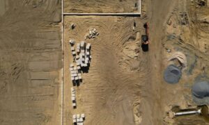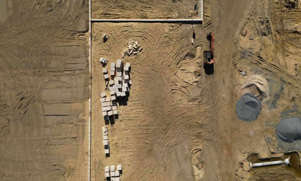
Grades on a construction site change every day. A dozer trims a pad, a truck dumps fill near a curb line, and a week later nobody is sure the ground still matches the plan. LiDAR mapping gives your team a dense, measured picture of the site surface. You can compare that picture with the design grades before the next crew builds on top of it.
In Minneapolis, this check matters even more on former industrial parcels. Old fill, buried slabs and environmental cover plans can make finished grades harder to hit. This article covers where LiDAR fits in grade verification, where it falls short and when you’ll want a surveyor to add ground shots. The goal is to catch a grade problem while it’s still dirt and still cheap to fix.
Identify Grade Changes Before Construction Moves Forward
Grade verification means checking that the ground sits at the elevations shown on the grading plan. LiDAR mapping helps by capturing millions of measured points across the site in one visit. A surveyor turns those points into a surface model, and your engineer or contractor compares that surface with the design.
Timing is what makes this useful. If you check a building pad before forms go up, the crew can fix a high or low spot with the equipment already on site. Once the next trade starts, new work covers the error, and fixing it means tearing that work out.
Former industrial parcels add their own twists. Many old mill sites, rail yards and factory lots sit on decades of fill from earlier uses. That fill can settle unevenly after demolition, so a pad that checked out last month may sit lower today.
Compare Existing and Constructed Grades With LiDAR Mapping
A grade comparison lines up two surfaces. The first is the design surface from your engineer or the topography before work began. The second is the constructed surface from a new scan. Software subtracts one from the other and shows where the ground sits above or below the target, usually as a color map.
Owners, engineers and site supervisors can read this kind of map quickly. Colored patches point to areas that need a closer look, and the numbers behind them show how far off each spot is. Ask your surveyor which tolerance the comparison uses. The project specs or your engineer should set that number.
Accuracy depends on the sensor, flight height, ground control and site conditions. A surveyor ties the scan to control points on the ground, so the scan and the design share the same vertical datum. A clean-looking color map without that tie can still be wrong.
Document Cut and Fill Across Active Construction Areas
Cut is soil a crew removes to lower the ground. Fill is soil a crew adds to raise it. A LiDAR comparison between two dates shows where each happened and by how much. That gives your project a dated record of grade changes across every active work area.
The record helps when questions come up later. An engineer may want proof that a detention pond reached its planned depth. An owner may ask why water now runs toward a neighbor’s lot after a stockpile moved.
On former industrial land, the record can matter for environmental work too. Some cleanup plans reviewed through the Minnesota Pollution Control Agency’s brownfield program call for a layer of clean soil or cover over impacted material. Scans taken before and after the cover goes down can help show its thickness across the whole area. Your environmental consultant should confirm how the plan wants that thickness recorded, since some plans may call for field measurements or test holes instead.
Check Difficult Grade Transitions With Supplemental Survey Data
LiDAR works well on open ground, but some spots need a surveyor on foot. Tight transitions are the usual example. Curb lines, gutter flow lines, accessible ramp slopes, door thresholds and joints where new pavement meets old pavement can shift by small amounts that still cause trouble.
Scans also have limits in certain conditions. Standing water, parked equipment, dense brush and loose stockpiles can hide or distort the true ground. On a former industrial parcel, an old foundation wall or leftover slab edge near a transition can create a sharp step that a surface model tends to soften.
In those spots, a surveyor adds supplemental data. That usually means GNSS or total station shots right on flow lines, grade breaks and finished surfaces. The surveyor then merges those points with the LiDAR surface, so the final model holds broad coverage and tight detail where you need it.
Decide When LiDAR Mapping Fits Grade Verification
LiDAR mapping fits best on larger or busy sites where crews need to check many acres at once. Mass grading, big parking fields, pond work and phased redevelopment of industrial land all fall into that group. On a small residential lot, a surveyor with a GNSS rover can often cover the same ground with less setup.
Signs it may fit your project:
- Several acres of grading are active at the same time
- Grades change often and more than one crew works the site
- Engineers, owners or environmental reviewers need a dated, site-wide record
- Old fill or settlement calls for repeat checks over time
Minnesota weather also affects timing. Snow and frozen ground can hide the finished surface, so plan scans during the grading season and before snow sits on the work. A LiDAR surface supports grade checks, but it may not replace a signed as-built survey if your city, lender or engineer asks for one. Confirm those needs early, and talk with your surveyor about scan frequency and which areas need field shots.