
LiDAR Mapping for Construction Site Grade Verification
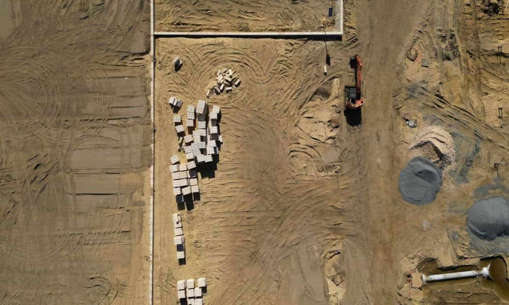
Grades on a construction site change every day. A dozer trims a pad, a truck dumps fill near a curb line, and a week later nobody is sure the ground still matches the plan. LiDAR mapping gives your team a dense, measured picture of the site surface. You can compare that picture with the design […]
LiDAR Mapping for Redevelopment Sites With Old Industrial Features

Old industrial sites hide their history in the dirt. A mill floor gets torn out, but the pad underneath stays. A rail spur gets pulled up, but the grade it sat on doesn’t disappear. Along the riverfront, where mills, lumberyards, and rail lines ran for over a century, this kind of buried history sits under […]
Save Money & Improve Accuracy with Drone LiDAR Mapping
For years, land surveys have been essential for construction, real estate, and infrastructure, but they come with hidden costs—high labor, delays, safety risks, and errors leading to costly rework. Drone LiDAR mapping is changing the game, enabling faster, more accurate, and cost-effective surveying with advanced technology. But how exactly does drone LiDAR mapping outperform traditional […]