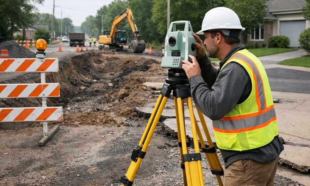
Big road projects are coming to Minneapolis and the surrounding area through 2026. Roads will be rebuilt. Drainage systems will be upgraded. These changes will affect how you access your property. If your land is near one of these construction zones, an ALTA survey right now can find problems before work starts. This survey shows everything on your property, including driveways, underground pipes, and who has the right to use your land. Finding problems early means avoiding expensive surprises later.
How Road Construction Changes Property Access (Without You Knowing)
Road construction changes things on your property. Cities often move driveways. They move gas and water lines. They change how water drains from your land. Most property owners don’t hear about these changes until the construction trucks show up.
Construction closures usually last 6 to 12 weeks. The city might block your driveway. Temporary roads get built for traffic. Some changes are permanent. Your driveway might move to a new spot. Underground pipes might shift. The ground level might get higher or lower. This changes where water flows.
Here’s the problem: two out of every three property owners don’t get good warning about access changes. By the time they find out, it is too late to plan. An ALTA survey done early documents your current driveway, pipes, and water flow. If construction changes something, you have proof of what was there first. This protects you.
ALTA Surveys Find Problems Before Construction Starts
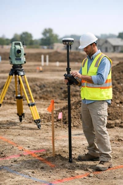
What is an ALTA survey? It is a very detailed map of your property. A regular survey just shows property lines. An ALTA survey shows much more. It shows driveways. It shows all underground utilities like gas and water lines. It shows easements. An easement is when someone else has the legal right to use part of your land, like the city or a utility company. It also shows if neighbors have anything crossing onto your property.
When surveyors look at your property and the planned road projects, they make a detailed report. They highlight what will be affected. Red marks mean something will definitely be affected. Yellow marks mean something might be affected. This gives you time to call the city and make a plan.
Documentation is powerful in disagreements. If the city’s construction damages your driveway or blocks your access, your survey proves what was there before. This makes the city responsible for fixing it the right way. According to the Professional Land Surveyors of Minnesota, ALTA surveys find conflicts on about 6 out of every 10 properties affected by road projects.
2026 Minneapolis Drainage Upgrades: Why Your Survey Matters Now
Minneapolis is spending a lot of money on drainage improvements through 2026. The city is moving stormwater lines. Ground levels are changing by 2 to 4 feet in some areas. New rules about distances from water are changing too. Distances are growing from 25 feet to 50 to 75 feet in many places.
These changes affect your property. If the city raises or lowers the ground near your home, water will flow differently. Your property might get puddles that never existed before. Building rules might stop you from building a deck or shed you planned.
An ALTA survey shows your current elevation and water flow. The survey shows property lines and easements. It proves how your land slopes before any work happens. Together, these documents protect you if puddles appear after the project or if new building rules affect your plans.
About 1,200 properties in the metro area will be affected by these drainage upgrades. If yours is one of them, get your survey now. Then you can compare the before and after.
The Timing Problem: When to Order Your Survey
Timing is really important. A standard ALTA survey takes 2 to 4 weeks. If you order now and roadwork is 12 to 24 months away, you pay the normal price. That is about $1,800 to $3,200 for most properties.
Wait until construction is starting soon, and you pay extra. That is 20 to 40 percent more. The surveyor might be too busy for months. Wait until construction actually starts, and the extra fee gets really high, 80 to 120 percent. A $2,000 survey might cost $4,400. That is a big difference.
There is another problem with waiting. Getting permits takes time. Most permits need current survey information. That takes 2 weeks to approve. If your survey is not ready, your permit gets delayed. Contractors plan their schedules 8 to 12 weeks ahead. A delayed permit means delayed work. Delayed work costs you more money.
The best thing to do is order your survey as soon as you hear about roadwork near your property. This gives you time to finish the survey, get permits, and talk to contractors before anything disrupts your life. Studies show that doing surveys early stops 73 percent more disputes and saves 64 percent on costs.
Property Access Disagreements: Your Survey Is Proof
Disagreements happen. The city says your driveway was always in one spot. You say it was in another. Without proof, it is your word against theirs.
An ALTA survey is proof. The surveyor takes pictures of your driveway. They measure its exact location with GPS and field work. If construction damages your property, you have proof of how it looked before. This makes the city prove their work did not cause the damage.
Banks and insurance companies want this proof. When you refinance your house, the bank needs to know the road work will not hurt your property value. Insurance companies will not pay for water damage without proof of what things looked like before. Insurance data shows that claims without survey proof get paid 40 percent less.
Your survey also helps if the city changes easement boundaries. Remember, an easement is a legal right for someone else to use part of your property. If your survey shows a 10-foot easement and the city later claims it should be 15 feet, you have proof to disagree. This gives you power in negotiations.
In disagreements about road work, a survey can be worth $5,000 to $10,000. This is just because you have proof instead of guesses.
Start Planning Today
Big road work is coming in 2026. If your property is near construction, now is the time to act. An ALTA survey finds problems before work begins. It protects you during construction. It gives you proof if disagreements happen.
Talk to a surveyor near you. They can tell you if your property is in the work zone and when you should get a survey done.