Why LiDAR Mapping Is Becoming Essential for Flood Planning
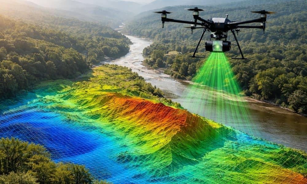
Flooding is becoming a bigger problem in many places. Cities face stronger storms, rising water levels, and aging drainage systems. Many systems struggle during heavy rain. Because of this, governments need better ways to understand land and predict how water moves across it. One technology helping with this is lidar mapping. Across many regions, public […]
Why Viral Storm Maps Are Changing Survey Mapping
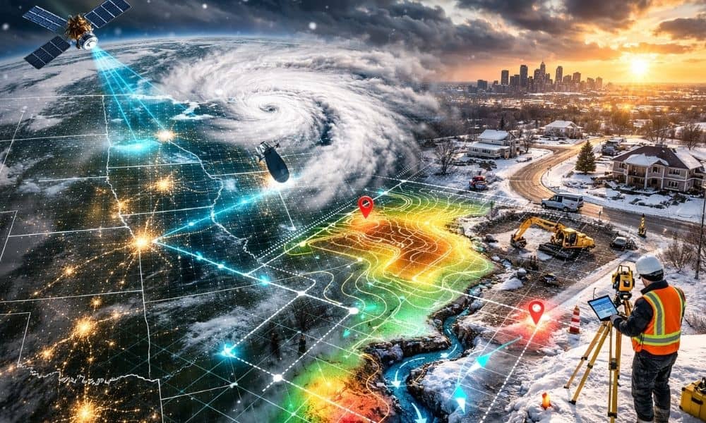
Last week, satellite storm maps went viral. Millions of people shared dramatic images of swirling snow bands, heavy cloud cover, and lightning flashing inside winter storms. News outlets showed real-time views from space as blizzards rolled across the country. For most people, those maps felt exciting and dramatic. However, for professionals in survey mapping, those […]
Land Surveying Safety: A Tragedy Sparks Change

A recent tragedy in Minnesota shook many people in the construction and development world. A driver struck and killed a land surveyor who was working near a roadway. The news spread quickly across local outlets and social media. While the story felt heartbreaking, it also sparked an important conversation. Many people hire surveyors every year. […]